Dana Weber · 15 October 2026
Mapping Pacific Island Heritage Through Specialized Web Collaboration Platforms for Kava Enthusiasts
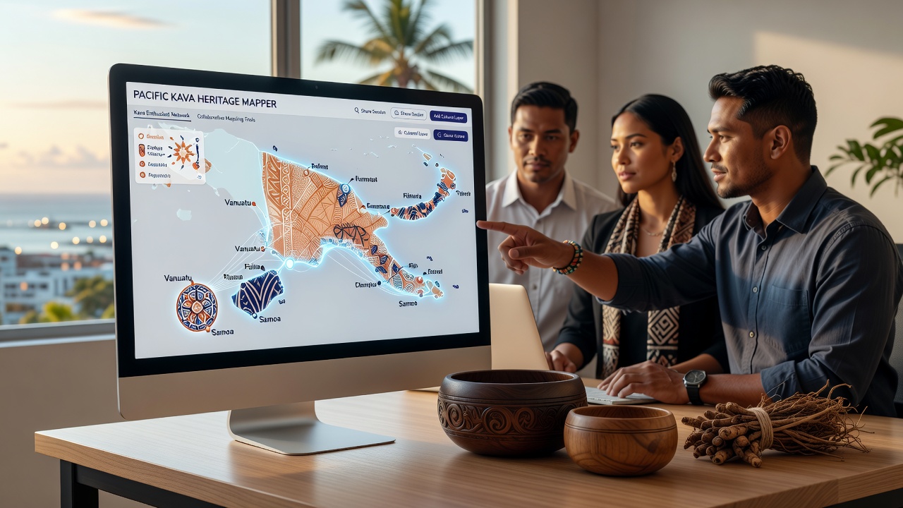
Pacific Island communities maintain deep connections to kava through ceremonial, medicinal, and social practices that span generations, and specialized web collaboration platforms now enable enthusiasts to document these traditions in interactive geographic formats. These platforms integrate user-submitted data with satellite imagery, oral histories, and botanical records to create layered maps that highlight kava cultivation sites, trade routes, and cultural landmarks. Researchers from institutions across the region have contributed datasets showing how kava varieties correspond to specific island ecosystems, and this information feeds into shared databases accessible to participants worldwide.
Cultural Context of Kava Across Island Nations
Kava, derived from the Piper methysticum plant, features prominently in rituals from Fiji to Vanuatu and extends into Hawaii and Samoa, where different preparation methods reflect local customs. Studies conducted by the Pacific Community indicate that over 200 distinct cultivars exist, each tied to particular soil types and elevation ranges. Heritage mapping efforts on these platforms allow contributors to tag locations with details about traditional harvesting calendars and associated legends, while moderation tools ensure accuracy through peer review processes. Observers note that such systems preserve knowledge that might otherwise remain fragmented in isolated communities.
Technical Features of Collaboration Platforms
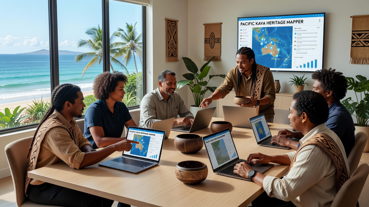
Specialized platforms designed for kava enthusiasts incorporate GIS modules, version control for map edits, and real-time chat functions that connect users in different time zones. Participants upload photographs of ceremonial bowls, record audio clips of chants, and overlay historical trade paths onto modern topographic data. Data from the Australian National University shows increased participation rates when platforms include multilingual interfaces supporting languages such as Fijian, Bislama, and Tongan. These tools also integrate with external archives, pulling in climate records that reveal how shifting weather patterns affect kava growth zones.
Recent Mapping Projects and Data Integration
One ongoing initiative combines satellite-derived vegetation indices with community-reported harvest yields to identify at-risk cultivation areas. Contributors in October 2026 began uploading new layers documenting post-cyclone recovery efforts in several archipelagoes, which revealed recovery timelines varying from 18 to 36 months depending on cultivar resilience. Platform algorithms cross-reference these entries against botanical surveys maintained by regional agricultural departments, flagging inconsistencies for manual verification. Figures from the Secretariat of the Pacific Regional Environment Programme reveal that collaborative mapping has documented an additional 47 heritage sites since the start of 2025 alone.
Challenges in Data Accuracy and Access
Connectivity limitations in remote atolls require offline editing capabilities that sync once users regain internet access, and platform developers have addressed this through lightweight mobile applications. Intellectual property concerns arise when traditional knowledge enters public databases, prompting some groups to implement tiered access controls that restrict sensitive information to verified community members. Reports from the University of the South Pacific highlight successful models where local governance boards retain final approval rights over published map content. These measures balance open collaboration with cultural protocols that have governed kava knowledge transmission for centuries.
Future Developments in Platform Capabilities
Upcoming updates scheduled for late 2026 include enhanced 3D modeling of ancient kava preparation sites and integration with augmented reality viewers for educational outreach. Partnerships with meteorological agencies will add predictive layers forecasting how ocean temperature changes may influence future cultivation viability. Such expansions build on existing frameworks that already support thousands of annotated data points across more than 15 island nations. Analysts tracking usage patterns report steady growth in contributions from diaspora communities who maintain connections through these digital channels.
Conclusion
Web collaboration platforms focused on Pacific Island heritage continue to expand the scope of documented kava-related knowledge through structured data sharing and geographic visualization. These systems connect dispersed enthusiasts with primary sources while respecting established cultural boundaries around information access. Ongoing technical refinements and regional partnerships support sustained growth in mapped content, creating resources that serve both preservation goals and contemporary research needs.